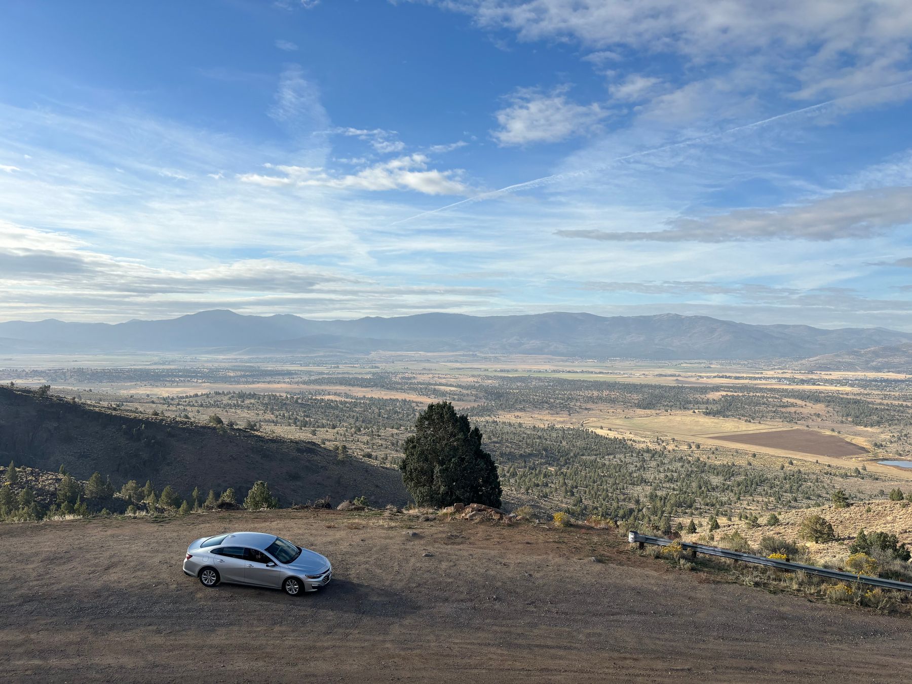
The Drive North on State Route 445
Pyramid Lake sits about 35 miles north of downtown Reno, reached almost entirely on State Route 445, which locals call Pyramid Way. From the Riverwalk District or the casinos around Virginia Street, allow 45 to 55 minutes; from the Reno-Tahoe International Airport, add ten minutes. The road climbs out of the Truckee Meadows through Sparks, passes the Spanish Springs and Palomino Valley turnoffs, and then opens into true high desert, with the Virginia Mountains on your left and long sage flats on both sides. Fill your tank before you leave Sparks, because services thin out quickly past the last gas station on 445.
The lake appears suddenly as you crest the final rise — a pale blue sheet against rust-coloured hills, with the grey pyramid-shaped tufa rock that gave the lake its name standing offshore. Elevation at the lake is roughly 3,800 feet, so it is a few degrees cooler than Reno in summer and noticeably colder in winter. Spring and autumn are the best months: April to June for wildflowers and calm water, September and October for clear light and fewer people. July and August afternoons regularly push past 95°F, so plan your walking for the morning.
What There Is to See and Do
The Pyramid Lake Museum and Visitor Center near the town of Nixon is the sensible first stop — it explains the lake's significance to the Pyramid Lake Paiute Tribe, who own and manage the reservation land around the water, and staff can tell you which beaches are open and where the day-use fees apply. From there, the two main public access points are Warrior Point, a short drive north of Nixon with a sandy beach and picnic tables, and Sutcliffe, on the western shore, which has a marina, a small store and a boat launch. Both are reached by continuing north on 445 past Nixon.
The lake is one of the few places in Nevada where you can see the Cui-ui fish and the Lahontan cutthroat trout, and anglers come from across the state for the trout season. Non-anglers should not skip the tufa formations: Pyramid Rock itself is best viewed from the Sutcliffe side, and the drive along the west shore toward the lake's northern end gives you long, unbroken views with almost no traffic. Bring water, sun protection and food — the store at Sutcliffe stocks basics but is not a full grocery. Cell coverage is patchy on the east side.
Regulations and Practical Etiquette
This is not a state park; it is the Pyramid Lake Paiute Reservation, and a day-use permit is required for most recreational access. Permits are sold at outlets in Reno and Sparks and at the marina in Sutcliffe, and the tribal website lists current rates and closures. Camping is allowed at designated sites only, and alcohol is prohibited on the reservation. Do not climb on the tufa formations, and stay out of areas marked closed for cultural or nesting reasons. Rules are enforced, and rangers do check.
Where to Stay in Reno Before or After
Reno makes the most sense as a base, and the choice comes down to two areas. Downtown, around Virginia Street and the Truckee River, puts you within walking distance of restaurants in the Riverwalk District and the casinos, with easy access to Interstate 80; the hotels here range from budget motor lodges to full-service casino resorts, and midweek rates are usually lower than weekends. Midtown, south of the river along Wells Avenue, is quieter, with independent cafés and a more local feel, but you will drive to the highway. South Meadows and the airport corridor suit anyone wanting a fast exit onto 395 or 445.
Fuel, Food and Timing
Leave Reno by 8am if you want two or three hours at the lake before the heat builds. The round trip is roughly 90 miles and makes a comfortable half-day; adding the loop past Sutcliffe toward the lake's north end takes another hour. On the way back, stop in Sparks for lunch rather than waiting for Reno — the Victorian Square area has several casual options. If you are continuing to Las Vegas, note that the drive south on US-95 from Reno takes about seven hours, so an overnight in Reno before that leg is worth considering.
What to Skip
Skip swimming at Warrior Point in May and early June; the water is snowmelt-cold and the wind picks up in the afternoon. Skip the northern end of the lake if you are short on time — the road is rough in places and there are no services. And skip any plan that involves arriving after dark without checking whether your chosen access point is open; the reservation is not a place to improvise.
Good to know
Questions, answered
How far is Pyramid Lake from Reno?
About 35 miles, or 45 to 55 minutes by car via State Route 445 north through Sparks. From the airport, allow an hour. The road is paved the whole way and suitable for ordinary cars.
Do I need a permit to visit Pyramid Lake?
Yes. The lake lies within the Pyramid Lake Paiute Reservation, and a day-use permit is required for most recreation. Buy one in Reno or Sparks before you go, or at the Sutcliffe marina. Check the tribal website for current rates.
When is the best time of year to go?
April to June and September to October. Summer afternoons regularly exceed 95°F, and winter can bring cold wind and occasional snow on Route 445. Spring brings wildflowers and calm water; autumn offers clear light and fewer visitors.
Can you swim in Pyramid Lake?
Yes, at designated beaches such as Warrior Point, but the water is cold well into June because it is fed by snowmelt. Afternoon winds make mornings the better window. There are no lifeguards, and the drop-off can be steep.
Is there anywhere to eat at the lake?
Very little. The store at Sutcliffe sells basic supplies, but there is no restaurant worth planning around. Bring your own food and plenty of water, and stop in Sparks or Reno on the way back for a proper meal.
Can I camp at Pyramid Lake?
Camping is permitted at designated sites only, and fees apply. Alcohol is prohibited on the reservation. Book or confirm availability through the tribal offices before travelling, as closures for cultural reasons are possible.
Should I stay in Reno or nearer the lake?
Reno. There is no conventional hotel at the lake, and the drive is short enough to make a day trip easy. Downtown Reno around the Riverwalk gives you restaurants and quick access to Route 445.
What should I bring?
Water, sun protection, a hat, food and cash for the permit. Bring layers — the lake sits at about 3,800 feet and is cooler than Reno. Cell coverage is patchy on the east shore, so download any maps before leaving.
Doing good is the business: every booking through Stay Nevada funds one verified tonne of carbon removal — same room, same price, no markup.
Search stays